Designing the Networks Beneath and Between Our Cities
Our civil engineers and infrastructure modellers support consultants, contractors and asset owners with intelligent 3D design for utilities, highways and geotechnics.
We combine survey data, design standards and BIM workflows to produce accurate models, drawings and quantities – reducing risk from feasibility through to construction.
What We Offer
Utilities Design
Water, drainage, power, telecom and gas networks.
Highways Design
Alignment, corridor modelling and junction design.
Geotechnical Design
Ground models, retaining structures and earthworks.
Utility Clash Detection
Checks against existing and proposed assets.
Sections & Drawings
Long sections, cross sections and schedules.
Utility Diversions
Diversion design and C3/C4 utility studies.

Utilities Design & Modelling
We model underground and overground utility networks so that new schemes integrate safely with existing assets.
- Water supply networks
- Foul & storm drainage (SuDS)
- Power & street lighting
- Telecoms & fibre ducting
- Gas distribution
- Utility diversions & C3/C4 studies

Highways Design
From minor junction improvements to major corridors, we deliver highway models that support design, approvals and construction.
- Horizontal & vertical alignment
- 3D corridor modelling
- Junctions & roundabouts
- Pavement & kerb design
- Signs, lines & road markings
- Earthworks & cut/fill volumes
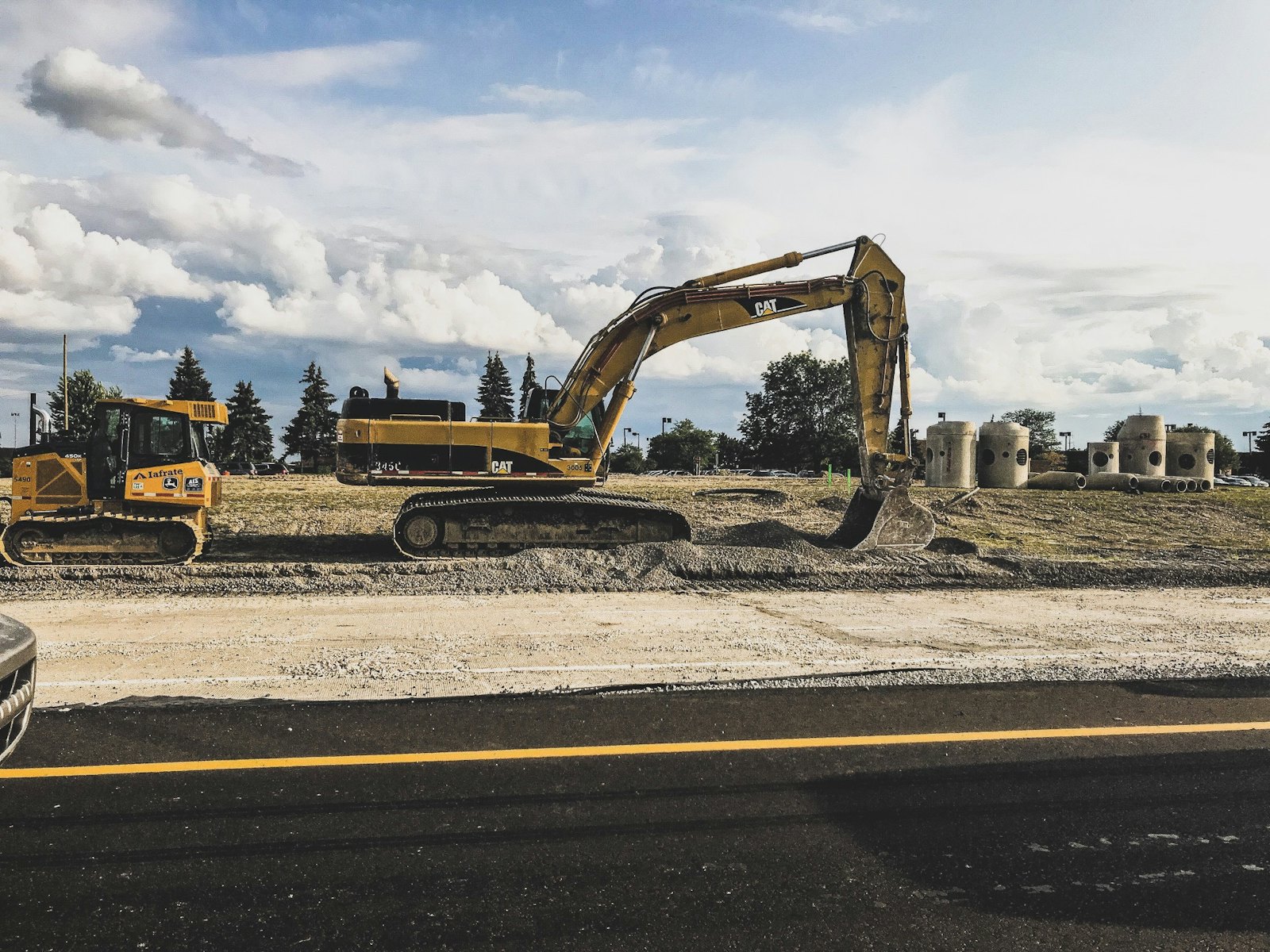
Geotechnical Design & Modelling
We turn site investigation data into 3D ground models that inform foundations, retaining structures and earthworks – reducing ground risk before work starts on site.
- 3D ground models from borehole data
- AGS ground investigation data management
- Retaining walls & slope stability
- Foundation & piling design support
- Earthworks & cut/fill analysis
- Geotechnical sections & drawings
Let's discuss your Infrastructure project
Share your drawings or scope and receive a tailored proposal within one working day.